Saturday, June 26, 2021

Stutsman County Storms - 6-7-2021


Well, this was a day!  It felt great to be back out in the field and actually chasing again!  This day started off with me going into the station and getting 'adjusted' to some of the new gear that I have for this year!  I have a new camera which I am using and then some other new goodies which we will use from time to time while chasing.  

After meeting with Hutch and Nathan and then discussing where our target area was going to be (and making sure I would be able to have a video shot for each newscast) off I went.  

We knew that somewhere in Southern Stutsman County was going to be the target.  Storms were going to form somewhere in northern SD, most likely new Eureka, and then mature and most likely become tornadic in LaMoure or Stutsman Counties. 

As I got towards Kulm, I realized that I was having some data coverage issues - one of my cards was not working.  I almost always have two data cards with - one with AT&T, the other one with Verizon.  I found that while I was connected, I wasn't getting any data back, so I ended up switching to my slower card, but it uses a different carrier and has slightly more range.  With there being a number of other chasers around, sometimes this can happen, especially if most of the chasers are on one carrier - you have to switch to the other carrier to get better service. 

On the road south of Jamestown

Once things got going, it got really interesting in a hurry.  I knew because of the road network I needed to try to stay to the east side of the storm, but not get too much into the rain and hail, because then I wouldn't see anything. 

Near Kulm

One thing I did notice was the incredible Mammatus!  


The storm was working on getting its act together and was showing more organization as it got closer to 9pm. 


Then, things really started to get interesting!  I let the original storm move off to the east, as the storm which was tornado warned became wrapped in rain, and a new cell was quickly developing off to the west. 


And here we go! 


Scraping the ground, looking south.  (thus the rain is on the east side) 


One thing which I noted was the incredibly strong RFD winds wrapping around the wall cloud.  It was some of the most intense RFD I have experienced in quite some time.  I was getting pelted with grass and branches and had other debris landing on my truck, so I knew that while I was safe where I was at, it was close!  


Spin up

With the RFD and the wall cloud wrapping around, here appears to be the spin up! 


More RFD kicking up dirt from the fields. 


Overall, great motion this evening, with a couple of really awesome cutins!  Some of the video will make for a great promotion coming up, so make sure you keep an eye out for that!  

I'll try to get some more blogs up, but this was a great first chase to get things out of the way!  

Edit:  Adding in some links to video! https://fb.watch/8Wql3uLrpN/ and https://www.valleynewslive.com/2021/06/08/vnl-storm-chaser-catches-tornado-live-camera/?fbclid=IwAR2H_0HyeCgSZ4IQpHEnOZQFuTSlgU8gFsz1dTj3b8wq60nB2TvFPngX-cM

Tuesday, July 14, 2020

Ottertail/Becker/Wadena County Chase - 7-13-2020

I'm just going to apologize now for the horrifically long post with tons of pictures.  But, yesterday was totally deserving of all of these pictures.

After missing out on the Dalton tornado due to a commitment, the number of chase days left in 2020 are starting to become more sparse. 

Yesterday was a First Weather Alert Day, because we had an enhanced risk of severe weather for the day, primarily in Eastern ND and Western MN.  As things progressed during the day, that risk moved further to the east, and led to a Severe Thunderstorm Watch being issued later in the afternoon. 

With me being able to get out and chase (and have time to get into position) it allowed me to grab a hamburger from a local restaurant, as I knew I would be getting home late.

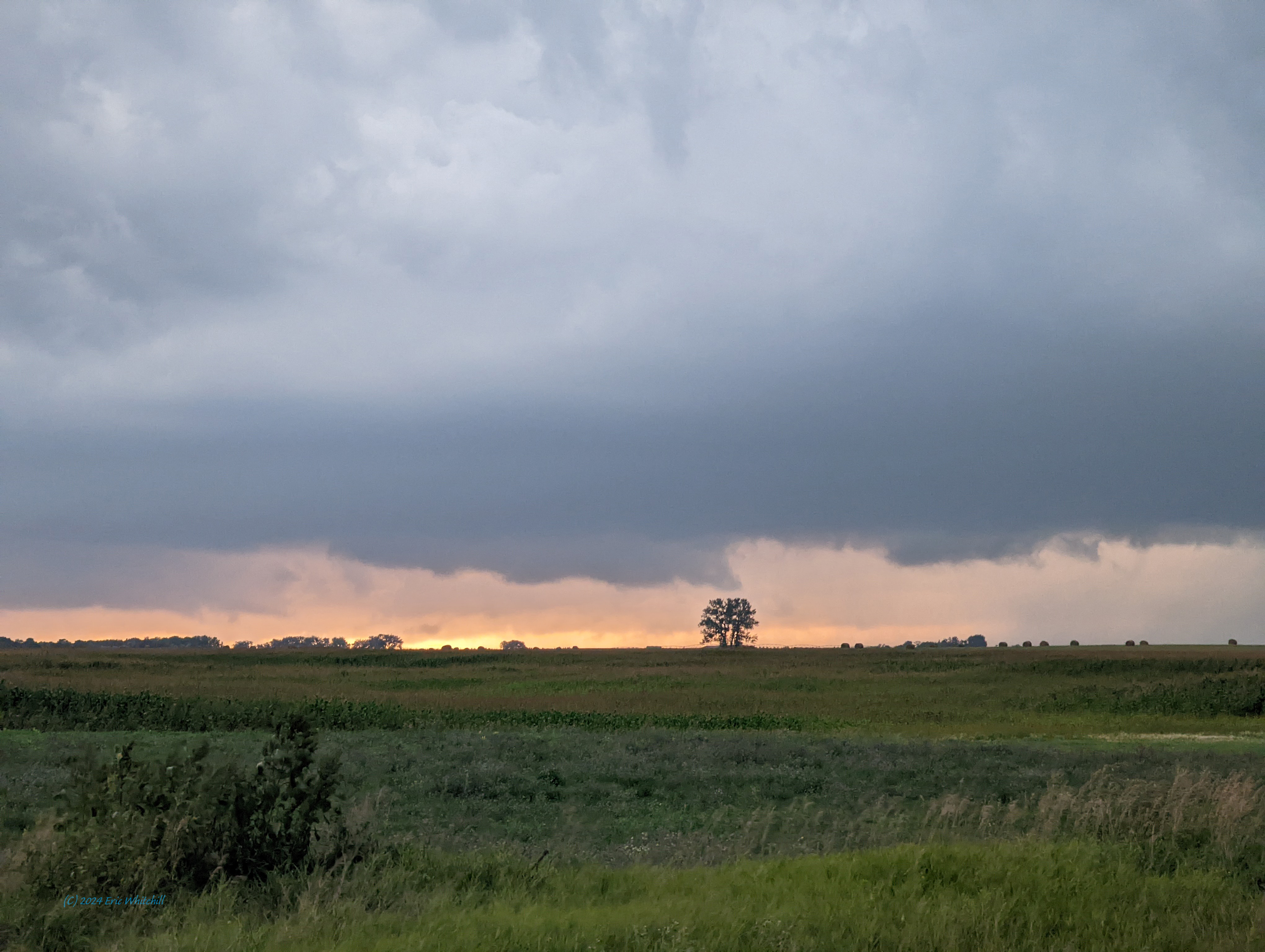
Starting off in Clay County, I originally just hung out near Rothsay until close to the end of the 5:30pm newscast.  The cap was starting to finally weaken and we were seeing CU development and some showers forming in Clay and Becker Counties.

I ended up spending time with some Looney friends near Perham while I waited for storms to form.

It's a little Looney out there!

Shortly thereafter, we started to see some radar returns near Fergus Falls and it was clear this storm was going to be the one to watch.

As it was developing

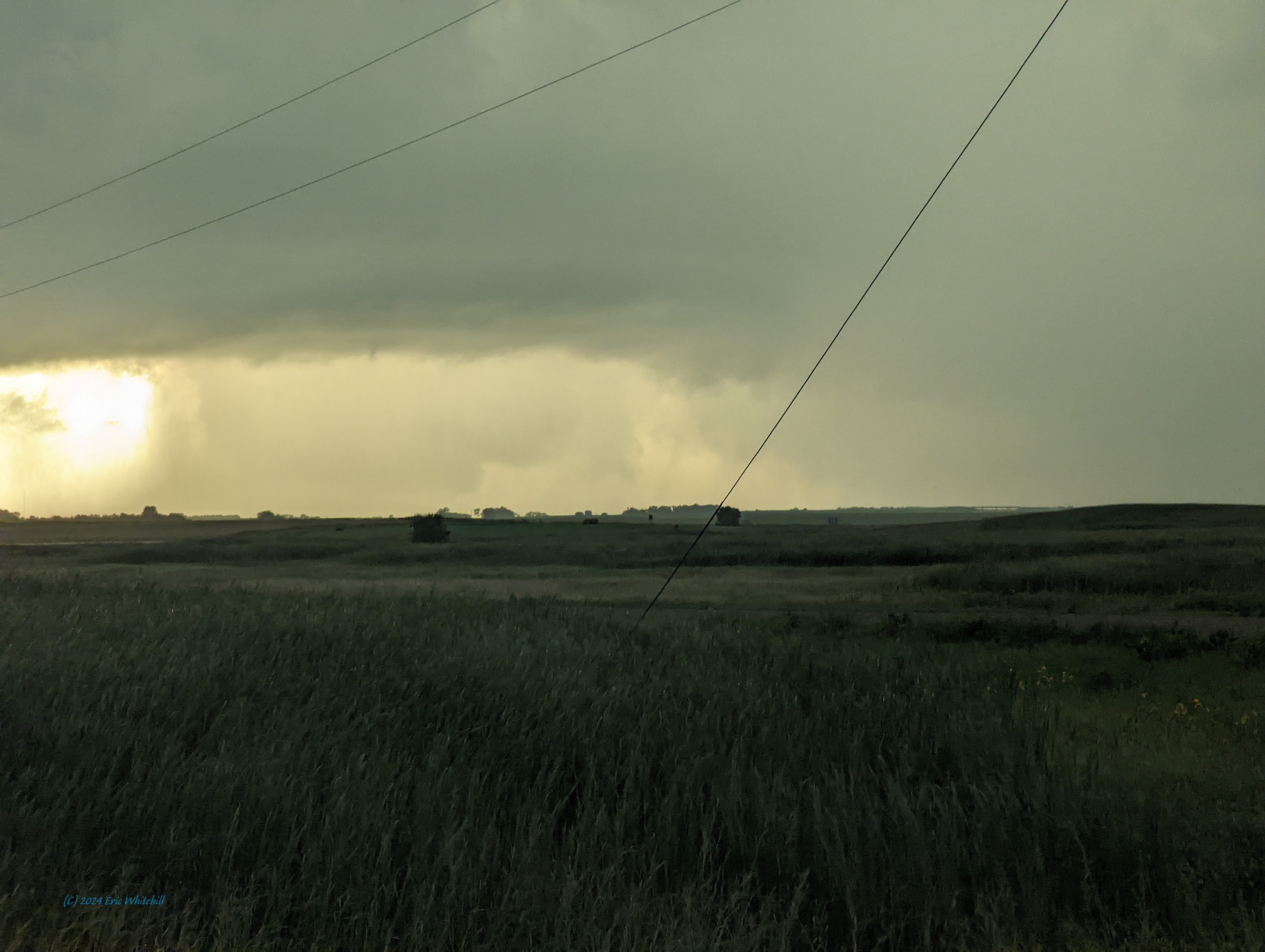
I was able to get caught up to the storm near Richville, MN - just north of Ottertail Lake.

Maybe some rain and hail in there...

Then, we  could start to see a wall cloud VERY rapidly start to take shape.


In looking at the timestamps on my camera, it went from just starting to form to a rotating wall cloud in less than five minutes.  I was able to get this on video, and I'll edit and upload that at some later date.


Then, we noted a funnel start to take shape.  (Hi Brad and Kyle and Melanie!)
HI BRAD AND MELANIE! 


Wider look. 


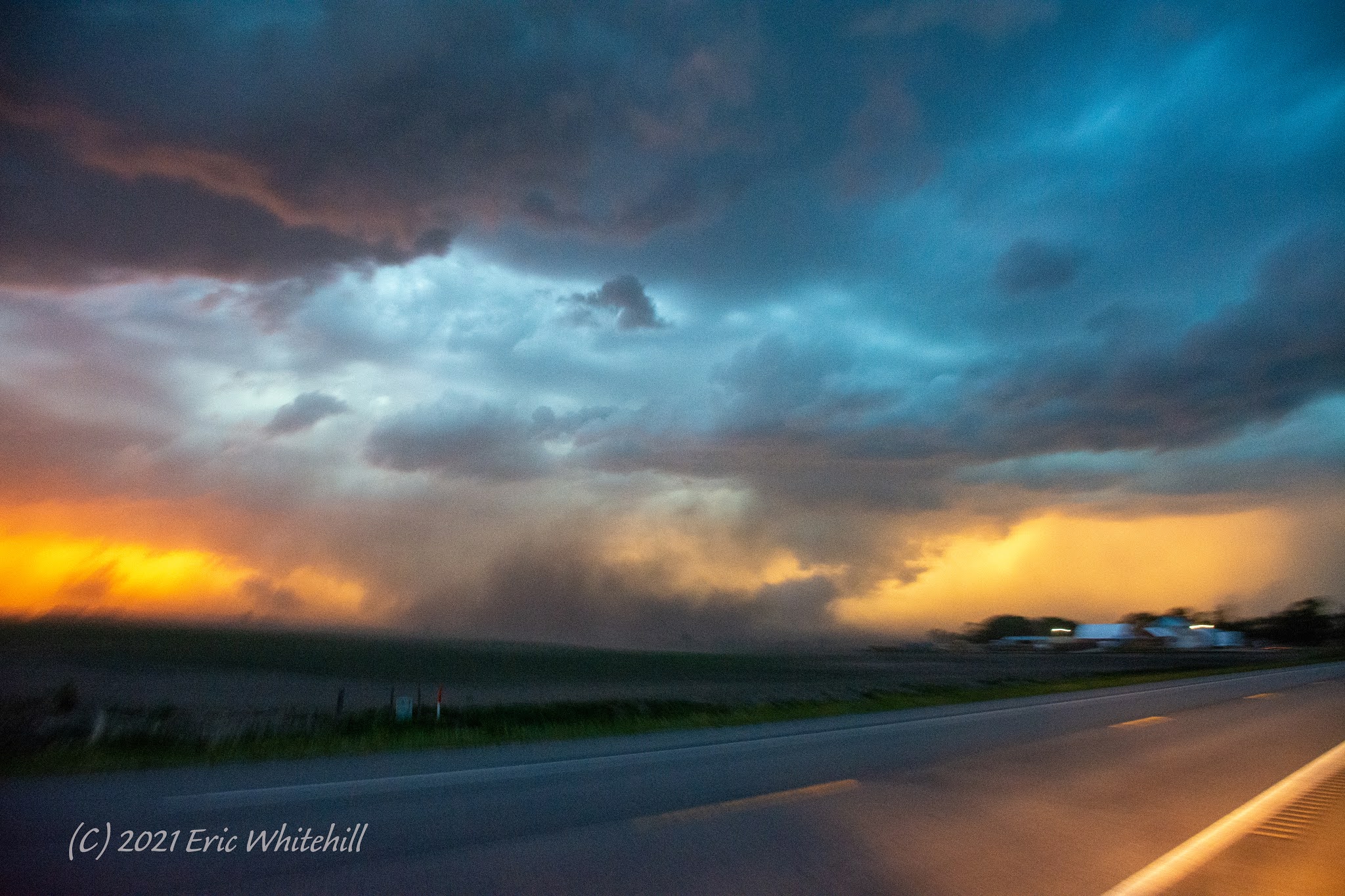
The storm then started to move off to the Northeast, and I needed to re-position myself.  I let the RFD come right over me. 


I'm very glad I did, as the colors of this storm were just fantastic!


I am just going to let the pictures of this storm speak for itself. 


During this time, Bill Doms and I were able to connect.  Bill and I have been friends going back since I first started chasing, and he has always offered invaluable advice over the years.  Check out his Twitter feed for some awesome photos of this day as well!   It's even better that Bill and I work for different TV outlets (with him working with Fox9 out of the Twin Cities) we always seem to end up on the same storm. 


One more photo before I head home for the day.  I ended up getting home shortly after 11:30pm, which was a VERY long day for me! 


It looks like we do have more chances for severe storms coming up on Friday!  I hope I can get another couple of blogs pushed out before then! 

Tuesday, June 9, 2020

Grand Forks/Polk Counties Chase - 6-8-2020

Wall Cloud

What a chase day!

It started off with me leaving out of Fargo and headed north towards Grand Forks.  Originally, I was going to head north and then west to try to get to the storms in far western Barnes County.

Just as I was leaving Fargo. 
Very quickly after the storms went up, they started to rotate and before we knew it, there was a tornado warning.  I got up to Thompson I headed west and very quickly noted a wall cloud.  At first I couldn't tell if it was rotating, and then I was able to tell that it was, and as I got closer, it was cranking really hard.
Screencap from my dashcam. 
Quick camera shot out my window. 


Here's another screencap from closer to Emerado:

Note the big RFD cut - this can either help or be a hindrance to tornadogenesis.

I then had to make a choice.  The storm was very quickly going to be moving out of North Dakota and into Minnesota.  I also know my options for getting across the river are limited, and so I made a choice, and I dropped the storm as it got close to the airort and headed east and made the river crossing into Minnesota.

Once I made it info Minnesota, I was treated with quite a sight.

What a wall cloud! 

Here is some video I shot of the that wall cloud.
Another shot of the wall cloud with the RFD punch. 

After a few minutes, the wall cloud started to dissipate, but I was still left with some awesome picture opportunities:


Then, one more shot as the storm started to fade away:


Later on, the storm found the boundary again and became tornado warned, but by this time it was getting to the far northern reaches of the valley and I was well on my way home. 

As I was digging through the pictures on my camera, I realized I hardly blogged at all last year, and I am hoping to blog quite a bit more this year, and then do some blasts from the past from my previous years.  (Basically, I need to get caught up from hardly doing any chase blogs from last year!)  Hopefully I am able to get caught up more over the next few weeks.

Until next time!

Sunday, May 19, 2019

Stutsman and Barnes County Chase - 5-15-19


So it's been a while since I've updated by blog.  I know there were people wondering "What happened to 2018?".  Well, there wasn't much in 2018 chase wise, and the photos I shot I didn't feel were blog-worthy.  Yes, we had a couple of dates which had some pretty storms, but nothing which I would consider overtly spectacular.  Maybe in the future I'll go back and edit a few blogs and toss up some photos - not entirely sure.  If there's anything you want to see for dates, let me know and I'll work on tossing some pictures up from that day! 

Now it's 2019. Time for the first blog of the new year. 

There's been a few changes over the last year as well - one of the largest and most recognizable to the public is I am no longer using my trusty old Dodge Durango for chasing.    You'll see a new vehicle on the road this year!  It's not quite ready for prime-time, so this first chase really was to work out some of the bugs associated with getting a new vehicle chase ready.  I don't have all the radios wired in yet or the logos on the side, but the core of it is ready - and no time like the present to use it!  I did find there's a few things which will need to be altered before my first 'major' chase.  (And we still have a few surprises in store for our viewers!)

But, on to the chase log! 

We need there was a chance for some storms on Wednesday - I even had this in my 7-Day outlook from when I filled in on air last week.  But, it wasn't going to become apparent until the day of. 

I then woke up to this:

20190515 1200 UTC Day 1 Outlook Graphic

And I knew I would be chasing today! 

Our expectations were not all that high - we knew we'd have some storms, but with high bases, it should make for some decent storm structure with supercell-characteristics, but I was amazed with what I saw today. 

By the 3pm Outlook, we had a 2% risk for a tornado, but with the overly high bases, it would be a stretch:

20190515 2000 UTC Day 1 Tornado Probabilities Graphic

After I ran to the station to pick up some camera gear and to chat with our news director and producers, a quick conversation with Justin on targeting, the chase was on!

I blasted west on I-94 towards Jamestown, and there's a couple of things I need on a chase - water, food, and occasionally, caffeine!  I wasn't able to get a good lunch in and I haven't been sleeping the best lately, so a quick pit stop, top off the new truck, and get fuel for the chase and I ended up a few miles west of Jamestown just off of I-94.

Just west of Jamestown. 

Not too much for storm structure, but I knew I needed to wait.  There were two areas of convection I was watching - one south of Bismarck, and then another area northeast of Bismarck.  The computer models (HRRR really) was consistent with taking a cell, and then sending off to the southeast, and with it giving it supercell-like-structures.  The catch is, which one was it?  I also looked at mesoanalysis, and after a little while of waiting it was easy to figure out it was going to be the northern cell. 

I then headed north towards Pingree, and with the storm motions and lack of good road options I opted to let the storm come to me. 


Getting the planting done! 

Then the storm quickly became severe warned and it started to show much better organization on radar. 

This is what the cell near Linton, ND looked like...from Pingree. Note the clearing behind it - this was the cold front! 

Showing organization!

I was then treated to an almost constant rumble of thunder! 

In watching radar, I was seeing the cell cycle - it would get stronger, rain on it's inflow, and then pulse down.  Then, it started to really get it's act together and the VIL started to spike and my hail markers on my laptop started showing 2-3 inch hail possible!  Yikes!  Time to get out of the way.  (I don't want to have to explain to my insurance agent how I need a new windshield after the FIRST chase of the year!)

Note the hail shaft off to the right.

About this time I noted it was starting to get a wall cloud going and showing rotation.


The entire inflow was rotating into the cloud base!  Pretty neat!

It was about this time I called NWS Bismarck to let them know what I was seeing.  Now, the chances of this thing dropping a tornado was pretty slim, simply due to the very high cloud bases. 

Pano of the cell. 
But, it still made for a pretty sight! 


Rainbows! 
The cell continued to be severe warned, and then really started to get it's act together near Spiritwood.  


At this point 3+ inch hail was possible with over 60mph winds, which would result in a very bad day for me if I continued east.  I then dropped down by the Spiritwood exit off of I-94 and watched as the cell put on one heck of a show: 

Wall Cloud
It showed almost constant lightning, and then a very pretty pink wall cloud developed!  There was some rotation to it, but it was not overly impressive.  


After watching this and talking with our staff back at the station, I started to make my way back to Fargo, and made it home in time to be in bed before midnight.  Not too bad for the first chase of the year!  

Not bad for storm reports!